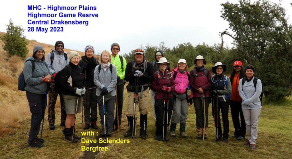
Leader: Dave Sclanders
Report and pictures: Dave Slanders
Number of Hikers: 16
Highmoor Nature Reserve is a very underestimated day hike venue. Mainly because visitors focus on the 3 fishing dam, Aasvoelskranz Cave, and Caracal Cave amnd Mount Lebbanon. However there are many great places to visit as long as one is happy to go a bit off path, and use the KZN map.
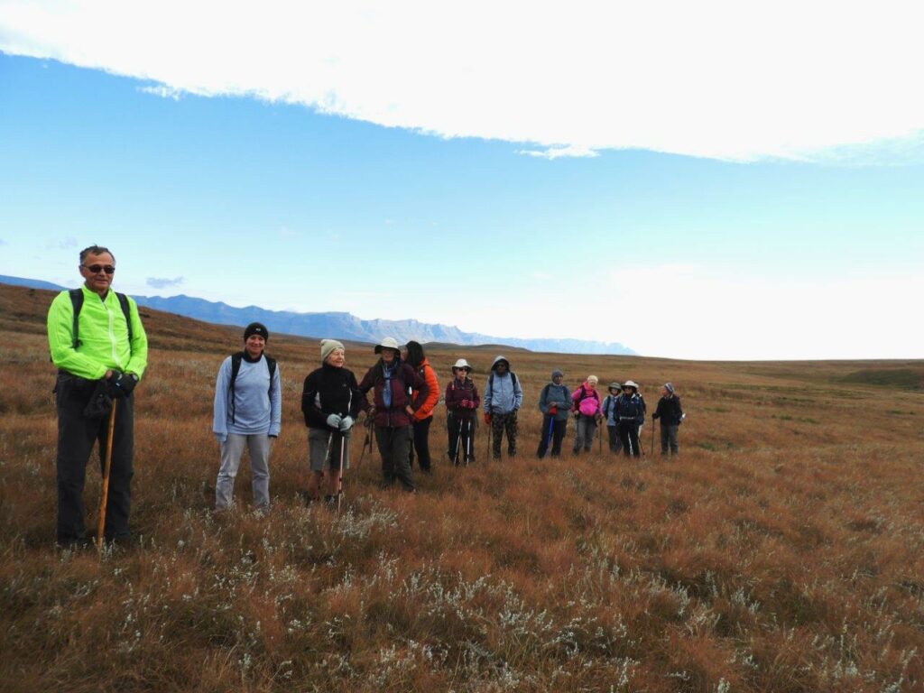
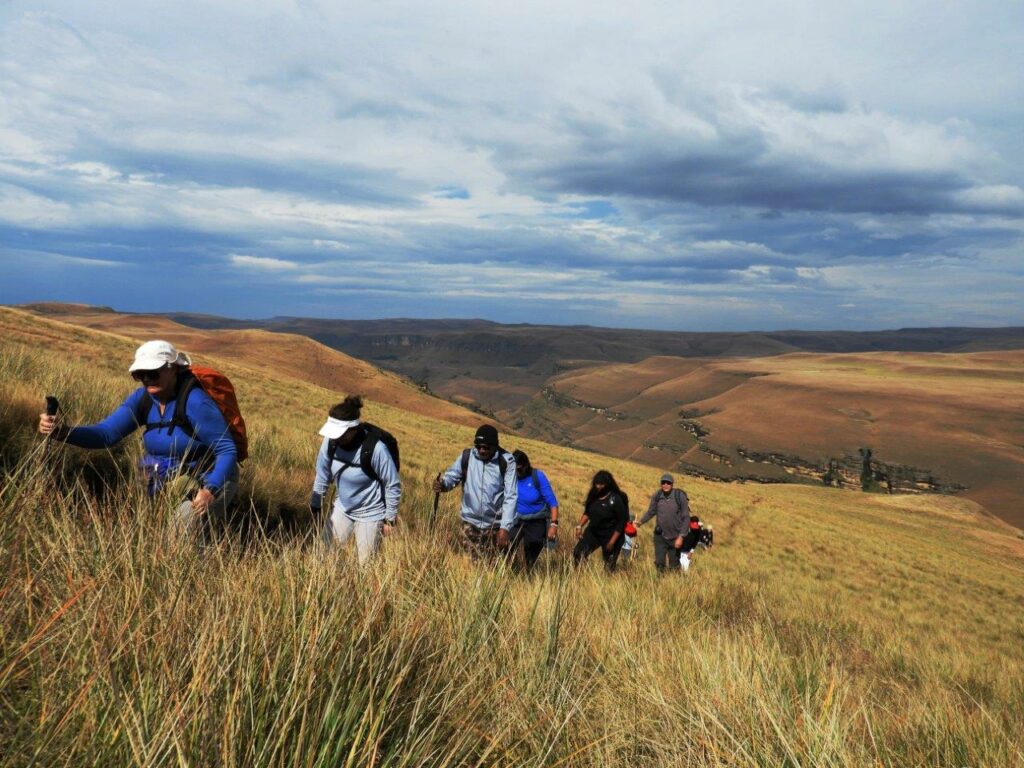
!6 of us set off to explore the scenery and openness of the vast interior plains of Highmoor. From the area of the camp site we took to the veld, no paths at all in this area, and headed up and over the high ridge behind the rangers accommodation. Many years ago there used to be a soccer field on the flats above the rangers quarters, but no longer known but to a few “old hands”
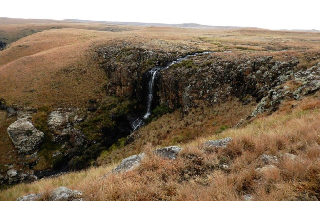
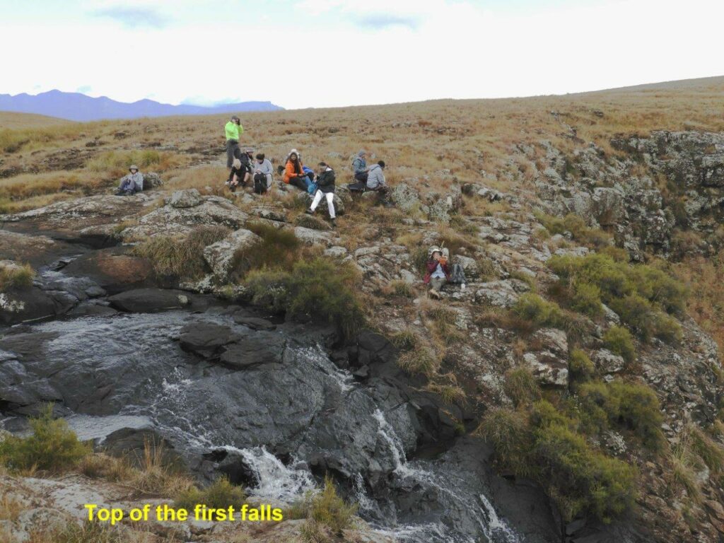
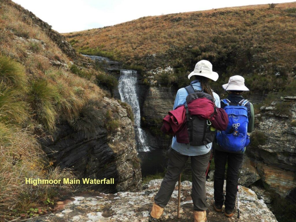
Once over the crest, we dropped down into a large deep valley cutting it’s way through the mountain. At the head of the valley is a lovely waterfall that cuts a great waterfall to the valley floor. This little stream ias known as the Impofanyana River, One can go right down to the bottom of the falls, with a great view to the crest of the falls.
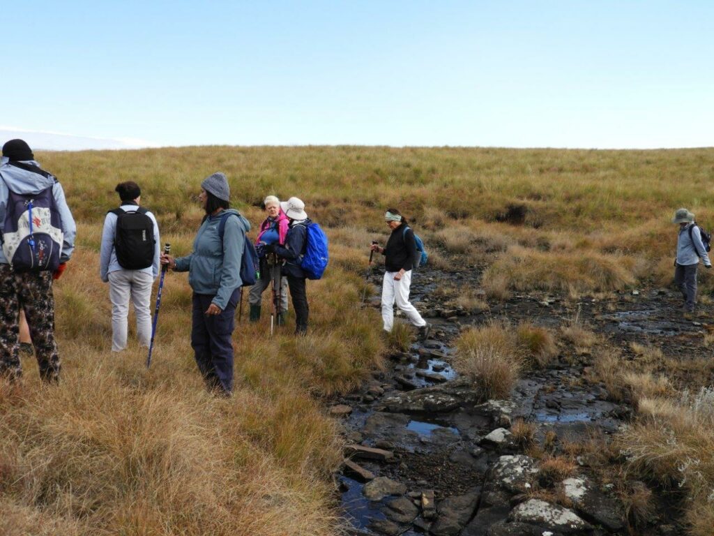
From the falls we headed in a southerly direction towards the Kamberg Valley. This area is fairly flat with numerous wet marshy areas and shallow ridges. In summer, it is best not to wander around here as the marshy areas become very wet and boggy, making it easy to get really stuck in the bog. In the past the numerous game that was in the area kept the paths along the ridges clearly visible as they also did not want to get caught up in the wetland. Sadly as in all our mountain reserves, animal numbers have dwindled badly, and in many cases, the paths have disappeared with them.
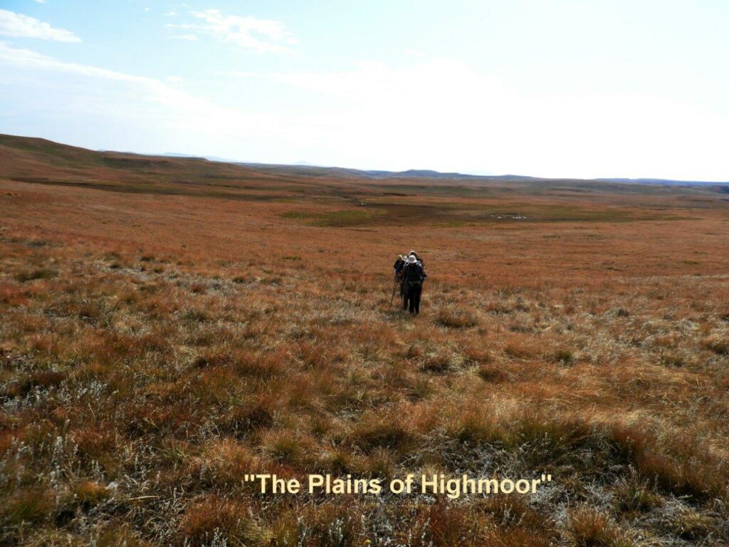
Another slight map reading problem is that once down on the flat Plains, there are not many landmarks to follow, due to the nature of the top plateaus of Highmoor.
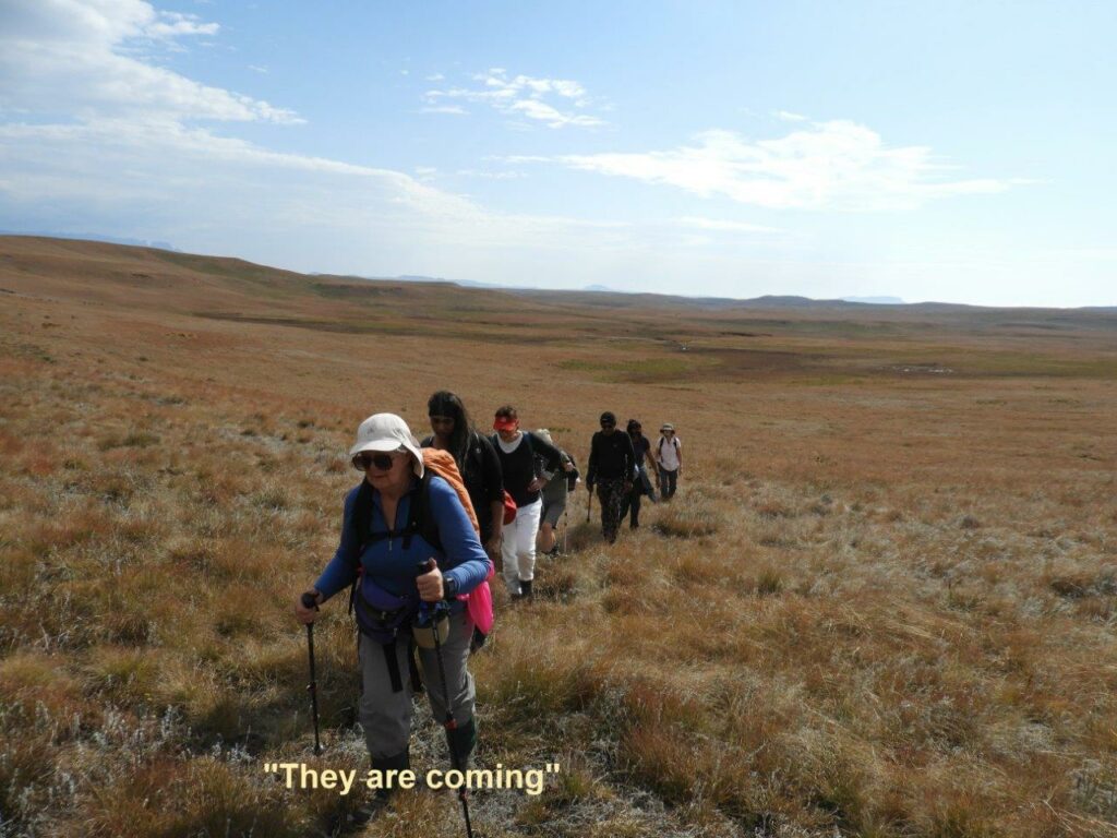
The walking through the long grass was a bit difficult, but as it was more of a rolling type topography, all kept up well.
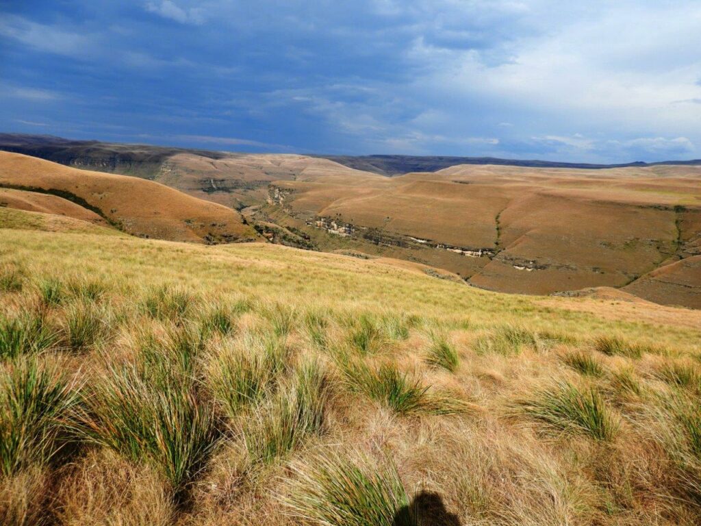
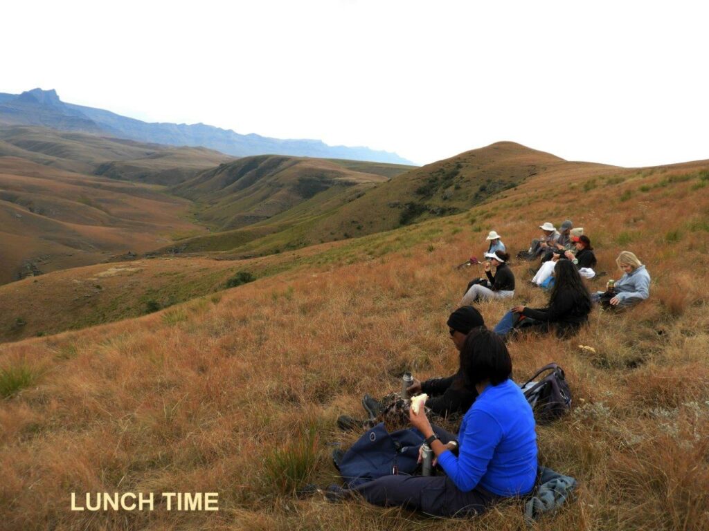
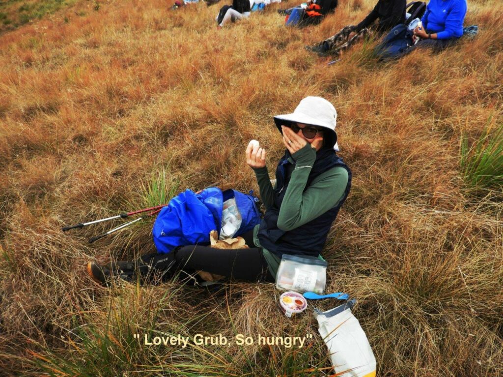
After a long cross vlei walk, we climbed a small hill, and dropped down the other side to look into the Kamberg Valley, where we stopped for lunch . The river in the great valley below was the headwaters of the Mooi River. The scenery was magical From the Giants Castle Massive, and the valley below us that cut right up to the Giant, and across to The Tent and Eagle of Loteni. Lunch was a happy , relaxed time, where some good lunch was enjoyed.
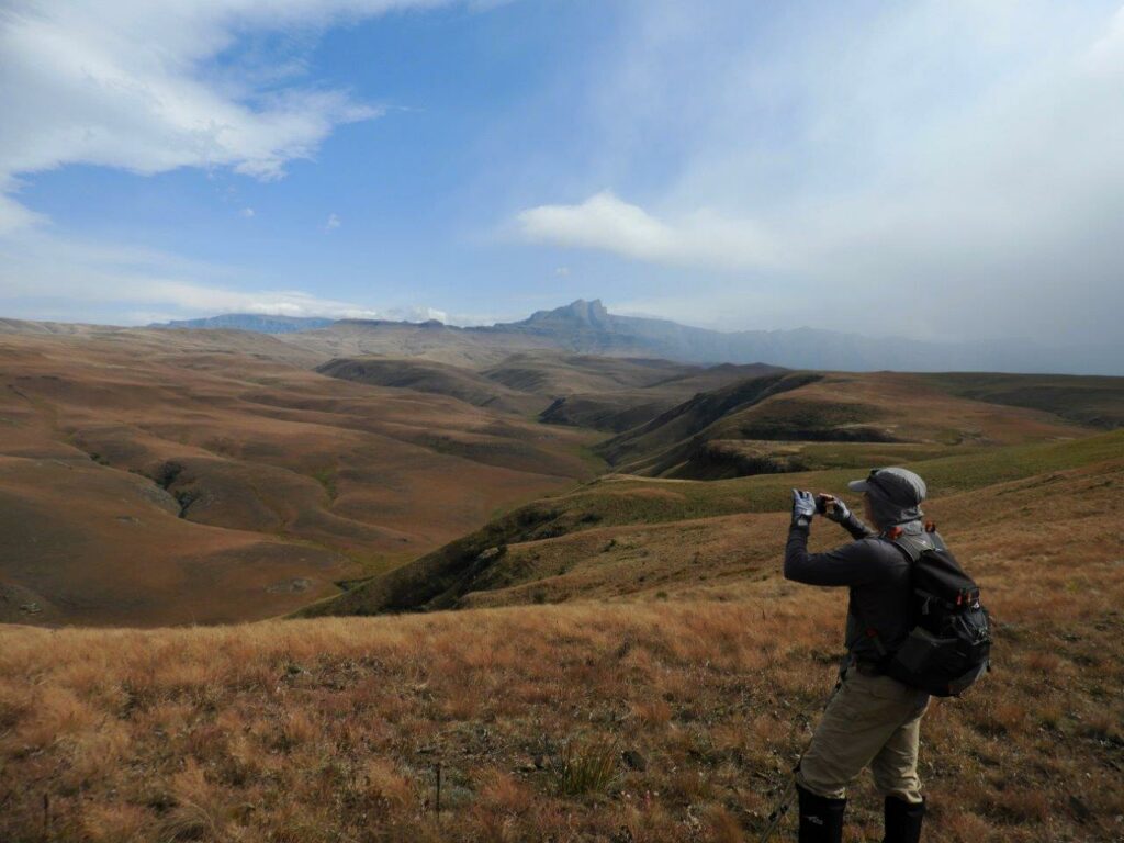
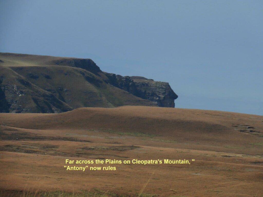
Once our rest and lunch was over it was time to start heading home. As usual, there is always a hill to climb straight after lunch. Up the hill and own the other side. On the crest we could look over the Giant all the way to Monks Cowl. Unfortunately the weather was showing signs of rain, so after discussing route options we set off an an easier route following the old road that ran back to the office. On the way, right in the far distance we could see Cleopatra’s Mountain Cliff face. Unfortunately, all that was left of the original Cleopatra’s face profile, was the profile of Antony.
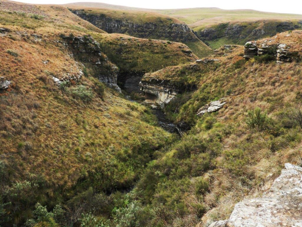
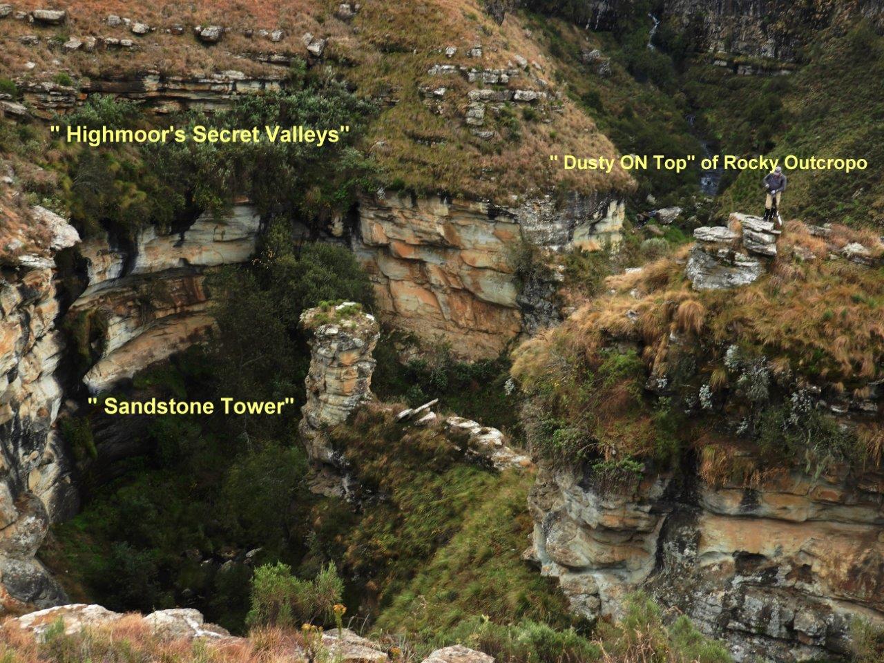
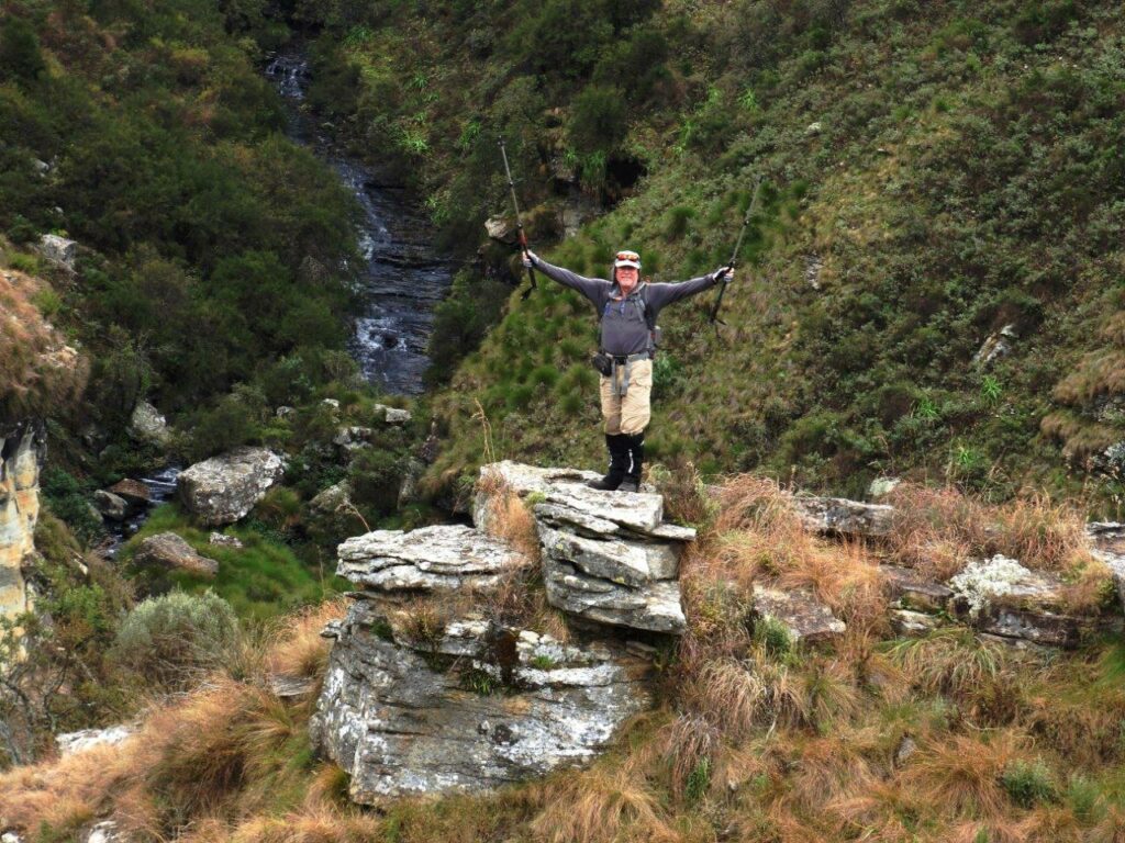
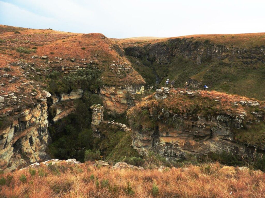
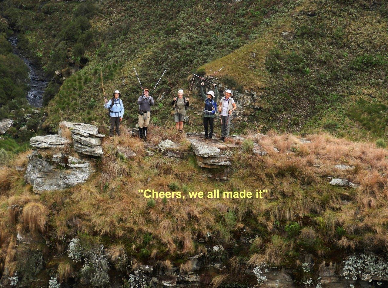
One more surprise was awaiting our hikers. Just below the bridge that hikers cross to go to the dams, is a lovely waterfall, and a very steep sided ravine that drops deep down into the earth, further down is a free standing Sandstone Pillar, and a free standing rock Island. Some of our more intrepid hikers crossed the gap and got on of the Rock Island for a grand stand view of the hidden valley. This great surprise valley is part of the headwaters of the Little Mooi River.
Luckily it was a short pull back up to the cars. As we arrived and were getting ready to leave, the rain came down, so it was a quick scramble to say our goodbye, and head home after a happy , brand new experience for most of the hiking team.